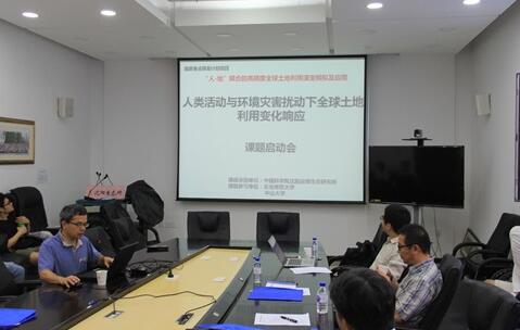
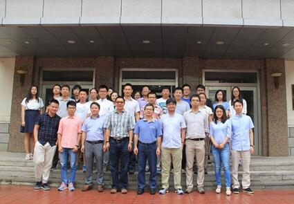
On 3-6 August, 2017, the seminar and the kick off for 3d subproject of National Key R & D Project in Thirteenth Fife Year Plan: Human-Land Coupled High Accuracy Simulation and Its Application that responsible by Prof YANG Jian were held in IAE. The principal specialist, Prof LI Xia from Zhongshan University and the head of sub-project Associate Prof YU Le from Qinghua University, Prof YANG Jian from IAE, Prof SUN Xiaoping from Zhongshan University, the back-born member of the 3d subproject Prof HE Hongshi from Northeast Normal University, Associate Prof LIANG Yu from IAE and others presented.
On 3 August, Prof LI Xia gave seminar entitled as High Accuracy Simulation Product for the Next 100 Years Variation in Global Land-Use. He introduced the historical development and new trend in the field and the research results with geographic cellular automata of his own group. Prof YU Le introduced his Long-Term Series Continuous Land Cover Mapping. Prof LIU Xiaoping reported Simulated Model Coupling Human Activities and Natural Effects for Coming Land-Use Variations.
Prof YANG Jian of IAE introduced the 3d subproject, including implementation plan, task division, output of results. Prof HE Hongshi and Associate Prof LIANG Yu introduced the principles, advantage and directions of development of LANDIS PRO model and its coupling with FLUS model.
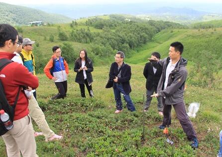
On 4-8 August, the specialists inspected Changbai Mountain Research Station, western and north slopes of Changbai Mountain, discussed the changes of high mountain forest line, tundra warming up experiment and interference-induced variations of forest succession and put forward suggestions to improve the accuracy of landscape model simulation .
The seminar stimulated academic exchange and cooperation within the research team and founded a firm base for the advancement of the project.


