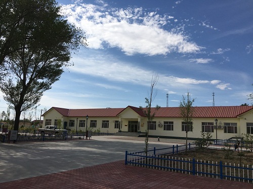
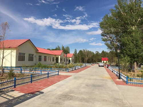
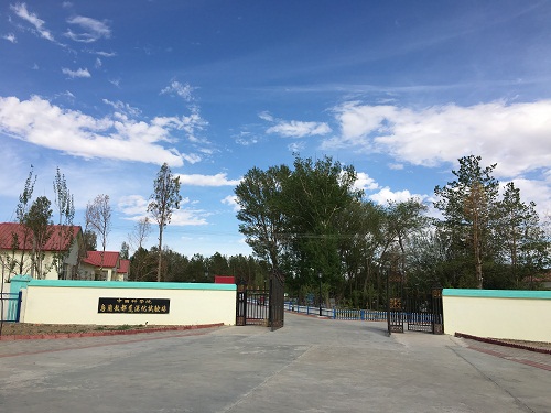
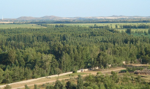
Wulanaodu experimental station of desertification, located in western Horqin Sandy Land, was built in 1975. Its geographic coordinated is 119°39 longitude and 43°02′ latitude, which belongs to Wengniute banner, Chifeng City in administration. Wulanaodu station has been a part of desertification monitoring network station since 2000, and became the one of sandstorms monitoring stations of China in 2008. The wulanaodu region is about 479m in altitude, and annual average rainfall is 284mm and average temperature is about 6.3℃. The typical ecological landscape include active and semi-active sand dunes, fixed sand dunes and degraded grassland. This area showed the typical ecological fragile and farming-pastoral landscapes in Horqin Sandy Land.